
The full hydraulic injection molding machine uses hydraulic valves to control the flow direction or flow of the high-pressure hydraulic oil pumped from the hydraulic pump to drive the piston rod of the hydraulic cylinder or the hydraulic motor to complete linear reciprocating or rotary motion, but if you want to achieve the synchronized action of each axis of the full hydraulic machine, An additional hydraulic accumulator must also be configured.
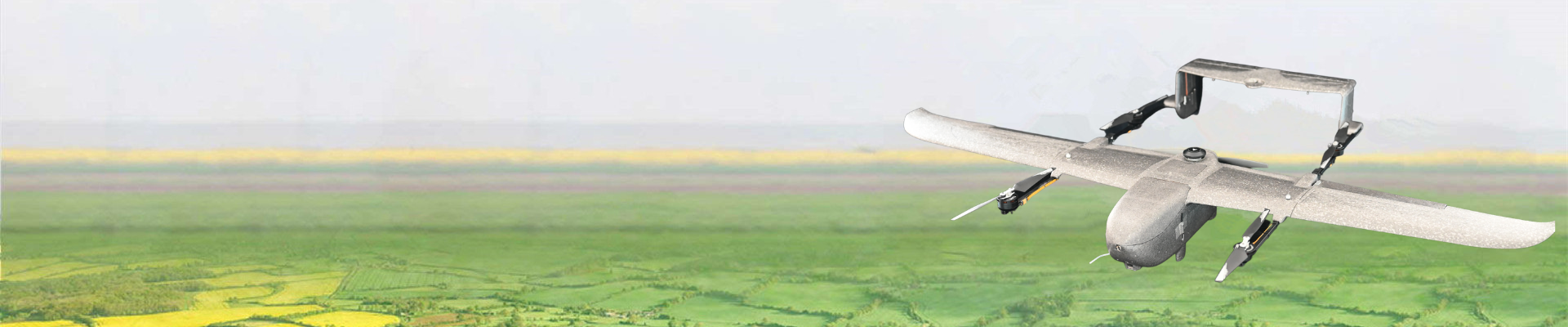
The concept of a 3D electronic sand table has always been applied in the military command of advanced countries. The 3D electronic sand table restores the local topography and landforms one-to-one with real scenes. It can completely replace the heavy and slow real sand table in terms of map refinement and map update speed. The efficiency of your command and decision-making is greatly improved, the high-precision map coordinates can accurately guide the artillery strike, and the rich map details can allow you to see every corner of the area and help you win every battle. And with the development of technology, the 3D electronic sand table has appeared in urban anti-terrorism command, flood control, fire protection, old city renovation planning and cultural relic archaeology in recent years.
The 3D electronic sand table is different from a single oblique model data. It models a whole area with oblique photography and collects the data into one area. On the sand table, we can browse all the terrain in the area without dead ends. The 3D model of the real scene restores the terrain data at that time one-to-one, and reproduces every shape of data and house data in the area.
On the electronic sand table, we can perform the most basic measurements of the area and volume of plots and houses, measure the length and height difference between points, and also mark the houses, count the information of houses and plots, and new models. The data can also be compared with the old model data, and the landform information can be stored.
By regularly updating the image map, it can record the construction situation of the same area at different time nodes (such as monthly, quarterly, annually, etc.) The historical change track of an area, through orthographic images, solidifies the landform of a certain key area, so as to analyze the local topography, the state of affairs, the distribution of buildings, the distribution of people, etc. more effectively in decision-making.
